
Aerial
Aerial
From Scenario Analysis to Operational Superiority
Aerial
Mastering Flight Complexity, Before the Mission
Every aerial scenario consists of trajectories, platforms, sensors, radars, communications, coverage, and operational constraints.
GMSPAZIO develops Modeling & Simulation solutions to analyze complex aerial missions before operational deployment, evaluating limits, performance, and criticalities in controlled virtual environments.
Through digital models, Digital Twins, and Digital Shadows, we replicate platforms, sensors, and missions to test configurations, compare scenarios, and support decisions based on verifiable data.

Advanced Solutions
From Mission to Digital Model
GMSPAZIO supports the planning, analysis, and validation of aerial scenarios in civil, institutional, and defense sectors.
From single UAV platforms to drone swarms, from radar coverage to RF communications, from ISR missions to multi-domain scenarios, we transform flight complexity into clear and actionable information.
Our work is not limited to using existing software: we design scenarios, integrate models, develop dedicated tools, and build tailored analysis workflows.
Radar Analysis
Evaluate Coverage, Measure Performance
Radar capability depends on the operational context: position, altitude, target, terrain, lines of sight, electromagnetic environment, and mission architecture.
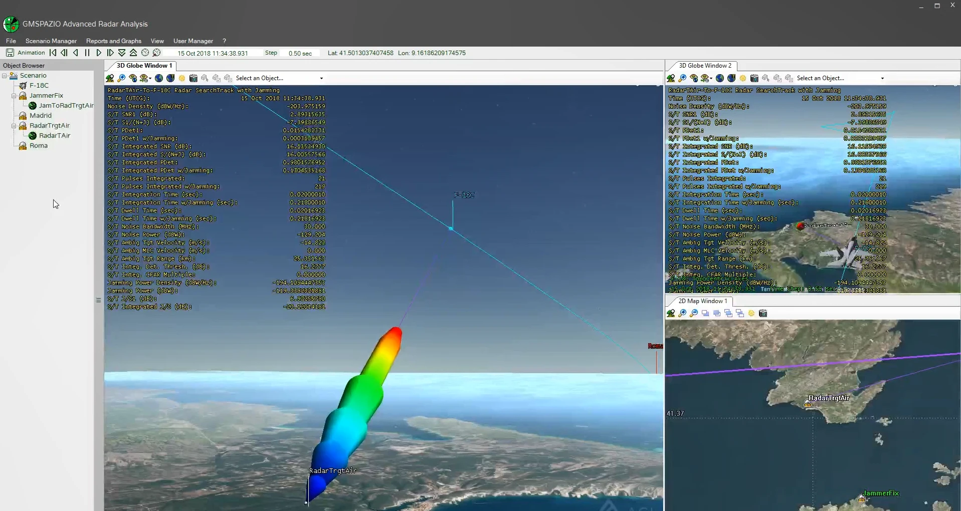
GMSPAZIO builds simulated scenarios to analyze coverage, range, tracking continuity, and the sensor’s contribution to the operational outcome.


Sensor Integration
Diverse Data, Unified Operational Picture
An effective aerial scenario requires the integrated interpretation of sensors, platforms, communications, and diverse information sources.
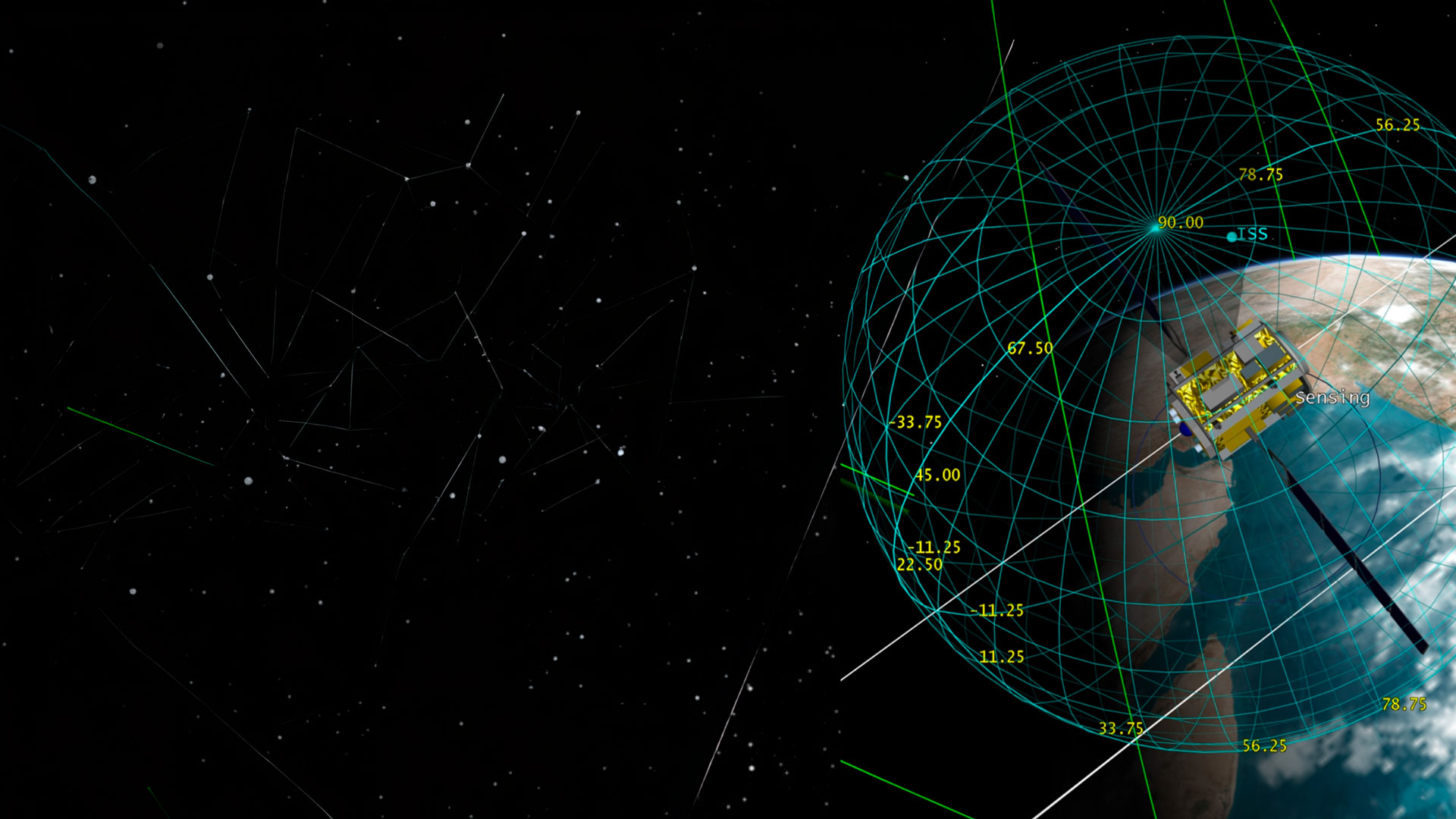
GMSPAZIO integrates radar, electro-optical, RF, satellite, and mission data into simulated environments, generating a clearer view of the scenario.
Case Study
From Operational Requirement to Simulated Scenario
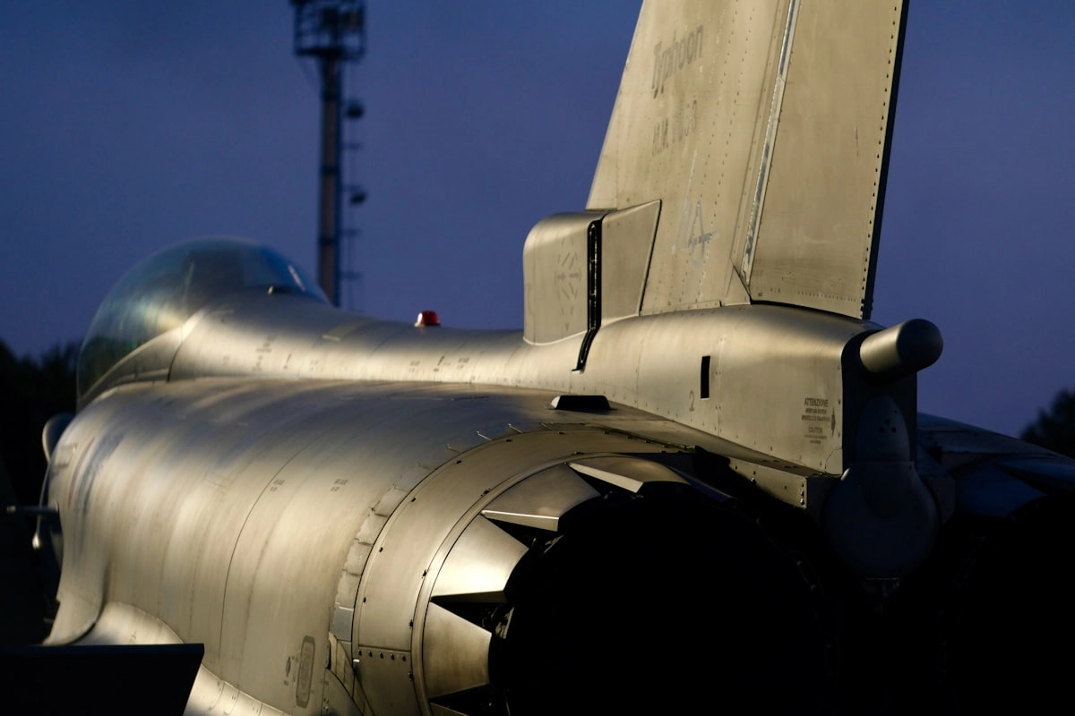
GMSPAZIO applies its expertise to mission-level scenarios where platforms, sensors, communications, and operational constraints are modeled in a controlled digital environment.
From UAV mission simulation to drone swarm replication, from radar coverage evaluation to ISR planning, we support analysis, validation, training, and decision support.
Our Toolkits
Tools, Integrations, and Custom Solutions

Mission Planning
Plan First, Decide Better
Planning an aerial mission means evaluating routes, altitudes, sensors, coverage, communications, constraints, and objectives before the operation.
GMSPAZIO builds simulated scenarios to compare alternatives, identify criticalities, and measure the effectiveness of operational configurations.
Simulation helps answer concrete questions: which trajectory ensures the best coverage, where do blind spots emerge, which sensors contribute to the mission, how does the scenario change with more UAVs or a coordinated swarm.
Related Training
Operational Skills for Complex Aerial Scenarios
GMSPAZIO combines simulation and software development with training programs for technicians, operators, and analysts.
Training enables building scenarios, interpreting outputs, evaluating coverage, planning missions, and using mission-level tools with greater autonomy.